Abstract
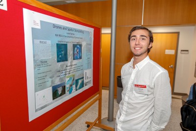
Drone Mapping and Spatial Storytelling
 Student: Lucas Farmer
Faculty Mentor: Timothy Hawthorne (University of Central Florida Department of Sociology)
Collecting high resolution imagery to update and replace satellite imagery of mapped islands. Interviews were conducted to bring context to our imagery by gathering real life knowledge and experience about the islands over time. From this data we intend to develop multiple types of deliverable (story maps, postcards, calendars, maps, prints of imagery) to be added into a large open data set available to the public and our community partners.
Islands off the Coast of Belize are essential assets for the tourism industry within the Country of Belize. Through the use of DJI Phantom 4 drones we are able to capture high resolution imagery of Islands in order to provide a visual to help explain what exactly is changing on islands. By doing so, the imagery gathered during the data collection process will be used in place of outdated and lowresolution satellite imagery. With the imagery gathered we will use ESRI’s Drone 2 Map to process data, creating large orthomosaics of individual islands. These orthomosaics will then be used while digitizing, using ArcMap, to look at several aspects of the islands, such as, island boundaries, structures, and vegetation. Another aspect of this research includes interviewing locals that either reside, work, or visit the islands. This connection enhances the understanding of what has and is changing with these islands. The imagery alone is cannot express the what has happened to these islands communities over long periods of time, as they are only a snapshot in time. Preliminary data points toward multiple different aspects of islands changing over time. As we have mapped and conducted interviews we can see multiple themes arise during our data collection and analysis. These themes include: the impact of the tourism industry, how island boundaries have changed over the years, the effects of mangrove loss, and information regarding different kinds of structures (seawalls, buildings, docks). This type of data set will provide much needed local knowledge explaining the impacts and adaptations to these island environments. All data will be open to the public to be used for the betterment of these island communities.
